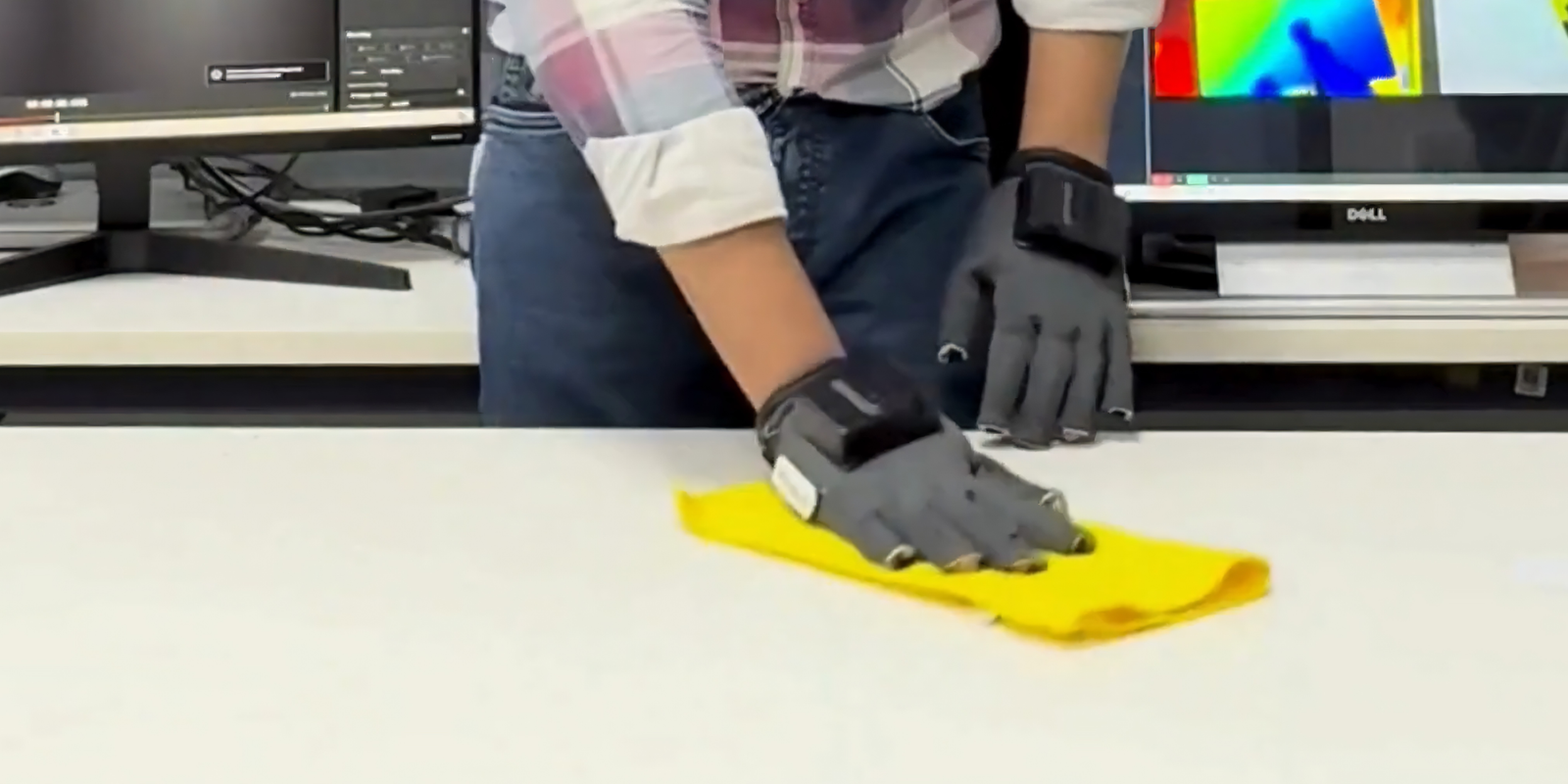
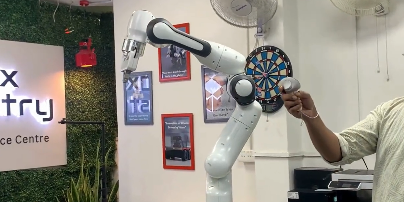
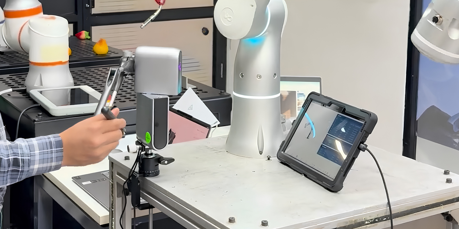
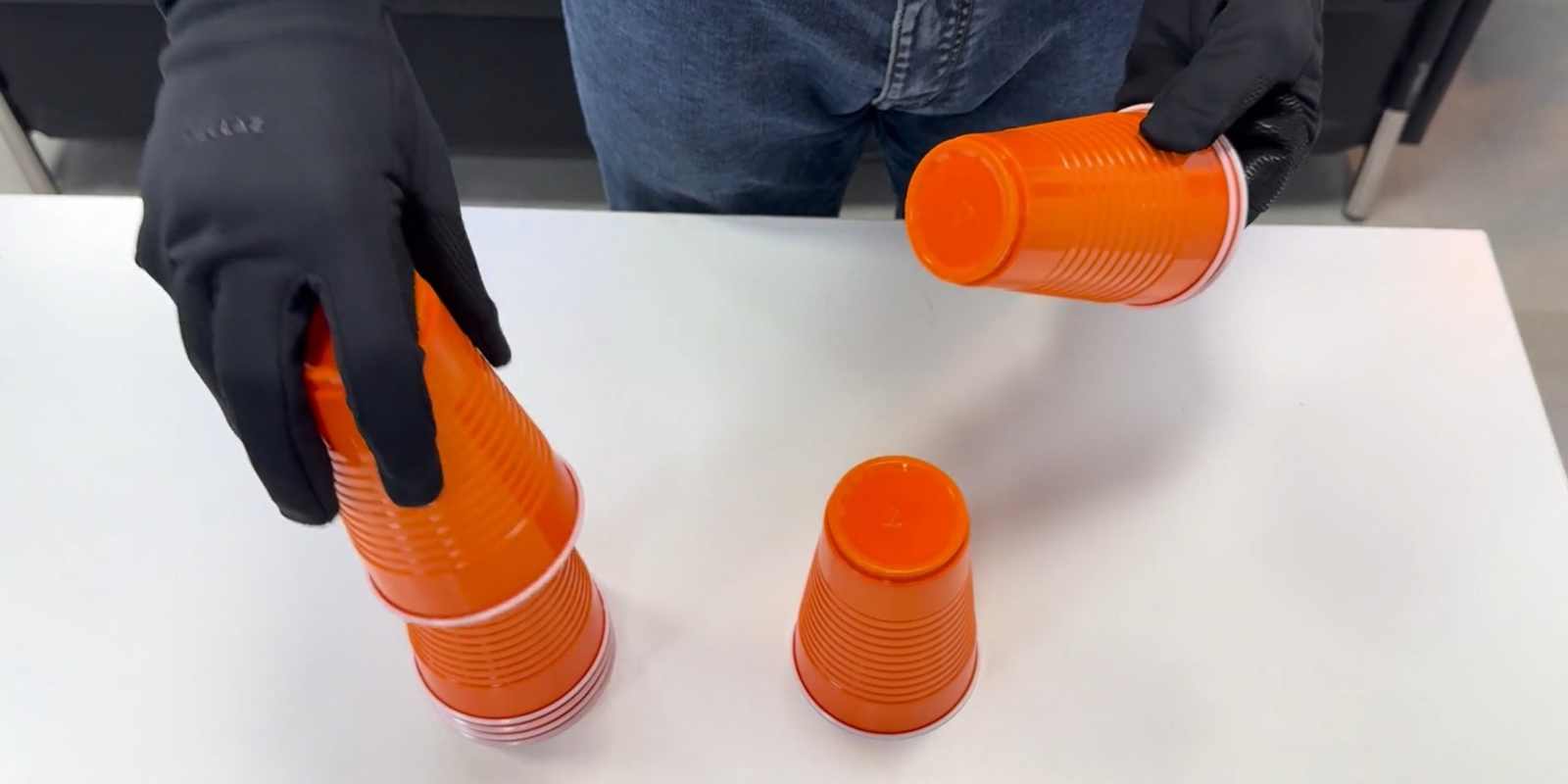
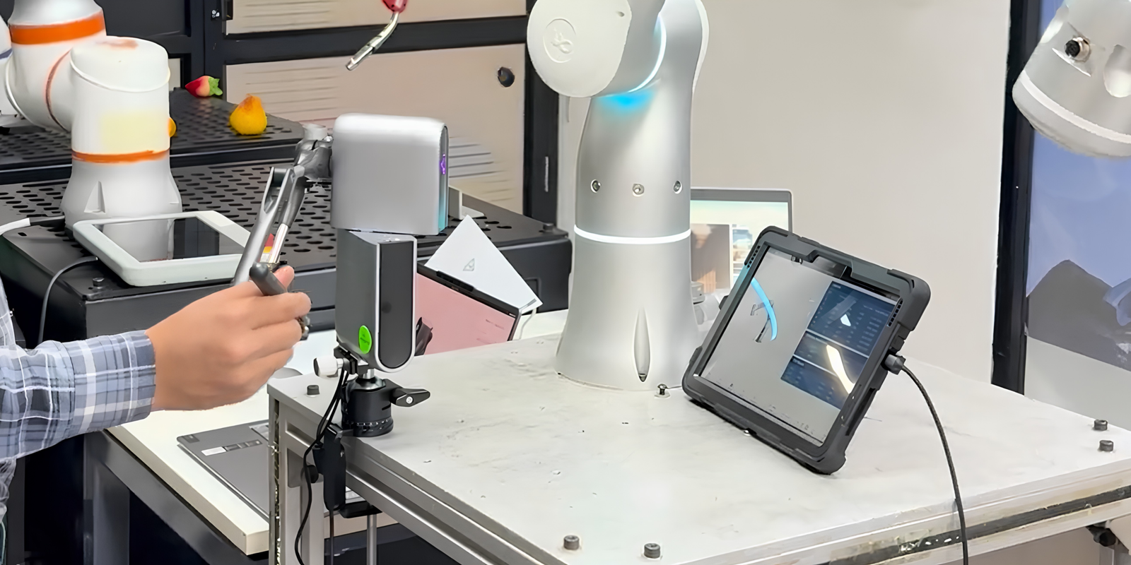
Physical AI Spatial Sensors provide the environmental awareness and spatial intelligence required to train next-generation robotics and autonomous systems. At Nferent AI, we offer advanced spatial sensing hardware including LiDAR, 3D scanners, IMU sensors, and GPS/RTK systems designed for robotics data collection and embodied AI training. These systems capture 3D point clouds, SLAM maps, terrain models, inertial measurements, and positioning data that support Vision Language Action (VLA) models, world models, autonomous navigation, and sim-to-real learning for Physical AI applications.
Hardware Types
Common types and variants within this category
LiDAR sensors
3D scanners
IMU sensors
GPS / RTK systems
Ultrasonic sensors
Data Captured
Types of data collected using this hardware
3D point cloud
SLAM maps
Terrain modeling
Inertial data
Positioning data
Depth information
Intensity data
Reflectance values
Typical Parameters
Key parameters captured in datasets
XYZ density (points/m³)
Intensity (0-255)
Timestamp (μs)
Sensor pose (6D)
Accuracy metrics (mm)
Range (m)
Field of view (degrees)
Update rate (Hz)
Dataset Capture Example
Capture high-resolution 3D environmental data with synchronized IMU and positioning information.
Key Features:
Synchronized sensors
High-quality calibration
Real-world scenarios
Complete metadata
Example Use Cases
Industries and applications using this hardware
Autonomous navigation
Environmental mapping
SLAM applications
Obstacle detection
Scene reconstruction
Localization
Featured Hardware
Hardware Options
Explore recommended hardware products in this category for your data collection needs
Get production-ready datasets for robotics and AI synchronized, calibrated, and delivered in your preferred format. Start building smarter automation systems today.